“You will be my witnesses in Jerusalem, in all Judea and Samaria, and to the ends of the earth.” (Acts 1:8)
 Some while ago I came across an interesting article in the Minneapolis Star and Tribune. The article reviewed several recent books in the area of cartography – the science of mapmaking. It was the title of the article, in particular, that caught my attention: “Mirrors of Civilization” (Randolph Delehanty, 9/25/00, p.E1).
“Anything that can be spatially conceived can be mapped,” Delehanty explains. “Not just the surface of the Earth or the moon or even the cosmos itself, but such things as education, income, cancer, the weather…all can be mapped.”
Delehanty cites Ptolemy, a second-century geographer: “The task of the cartographer is ‘to survey the whole in its just proportions.'” They tell us the “way there.” They also put things into their proper perspective. They highlight the center and the periphery. They indicate “up” and “down”, “near” and “far”. They become, Delehanty explains, “mirrors of civilization.”
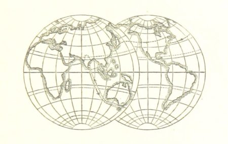
I am a baby boomer. I grew up with a world map on my grade school classroom wall: with the United States firmly in the middle, Africa smaller than Greenland, and Asia split ignominiously in two. The image, certainly, is not required by the physical data. Indeed, the image contradicts the physical data. It represents rather a “mirror of civilization” – a particularly ethnocentric way of looking at the world characteristic of my American upbringing.
In mission circles, too, we attempt to “survey the whole in its just proportions.” The famous “ten-forty window” is an obvious example – a “window” of priority need bounded by the tenth and the fortieth parallels north of the equator. Some speak, too, of a “forty-seventy window” containing nominal Europe and unreached Central Asia. Of all people, indeed, missionaries seem fascinated with maps.
What do our maps “mirror” about us?
Mission maps reflect a culture infused with concern for the lost. They mirror a civilization committed to the task of world evangelization. They yield a sense of “direction” – but insofar as they identify men and and women who do not know the Savior. They measure a kind of “distance” – but distance from the Gospel and opportunities to hear it. They help us in orienteering: they put things into their proper perspective; they reveal the “way there.” Mission maps help us to trace routes and choose vehicles that will traverse evangelistic distances most efficiently. Are the lost being won? Are the unreached seeing and hearing the Good News?
What “maps” do you carry – in your glovebox, or only in your head? And what do they mirror about your personal values and culture – your own civilization? What is “up” and “down”, “near” and “far” – for you? Do you carry a map to the mall? Do you know the way to church? Do you know the way to the lost?